

Geographic information
Alternative labels
Spatial information
Spatial analysis
Geographic Information Systems
Strategy
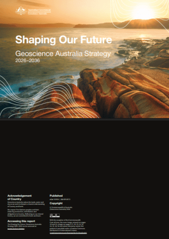
Shaping our future: Geoscience Australia strategy 2026–2036
The strategy charts how applied geoscience will help Australia navigate complex national challenges and create benefits for generations to come. It outlines how integrated geoscience insights will be delivered across five key focus areas: resource potential; positioning and navigation services; earth analysis; national land, marine and coastal mapping; and hazards and impacts.
Report
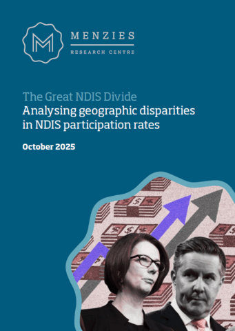
The great NDIS divide: analysing geographic disparities in NDIS participation rates
Research examining official National Disability Insurance Scheme (NDIS) participation data to explore how NDIS use varies by geographic areas within Greater Sydney. The report reveals disparities in NDIS participation rates and specific disability rates (across autism, developmental delay, intellectual disability or psychosocial disability) by Local Government Area.
Report
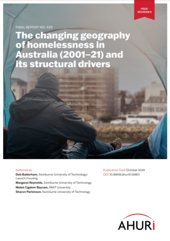
The changing geography of homelessness in Australia (2001–21) and its structural drivers
Homelessness has grown in the suburbs of Australian capital cities, with more than 60 per cent of those experiencing homelessness at the 2021 Census found in Australia’s capital cities (up from around 48 per cent in 2001). This research investigates the changing geography of homelessness in Australia from 2001 to 2021 and the role of...

Conference paper
Analysis and optimisation strategy of employment decentralisation in Perth through density and accessibility indicators
The Western Australian government has embarked on an employment decentralisation agenda aimed at bringing jobs closer to the people and improving urban sustainability in the Perth Metropolitan Region. This study employs density and accessibility measures to evaluate this decentralisation (or rather ‘poly-centralisation’) policy.
Report
Urban vegetation cover change in Melbourne: 2014-2018
This report focuses on the extent and change in the spatial distribution of vegetation across Melbourne between 2014 and 2018, reported against major land-use classes and against metropolitan sub-regions.